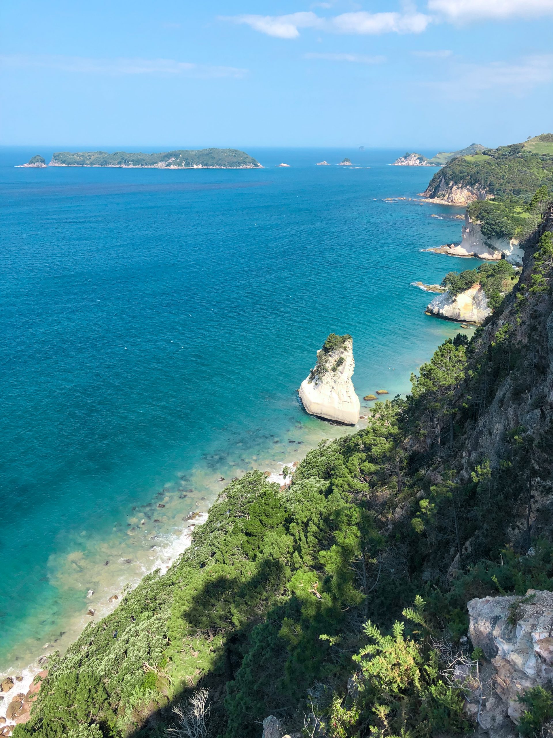
With its spectacular scenery, New Zealand is a paradise for drone footage, and the basic rules are pleasantly straightforward by international standards. The main thing to watch out for is public conservation land, which covers many of the most beautiful photo spots.
Under the Civil Aviation Authority's (CAA) Part 101 rules, neither registration nor a pilot license is required for private or commercial flights with drones up to 25 kg. The rules apply equally to residents and tourists.
Flying is allowed within visual line of sight (VLOS) up to a maximum altitude of 120 metres. Airports and controlled airspace require a minimum distance of 4 kilometres, unless you have ATC clearance. The Airshare.co.nz app and website let you check the airspace in advance and request authorisation - voluntary, but highly recommended.
The Department of Conservation (DOC) manages most national parks and reserves and categorises them for drone use as Green (approval usually straightforward), Orange (more involved case-by-case assessment, often costing several hundred to over NZD 2,000), or Red (drone use generally incompatible with the conservation purpose).
Year-round no-fly zones apply around marine mammal and seal colonies, with seasonal restrictions added during bird breeding season. Out of respect for Māori culture, flying over sacred sites (Wāhi Tapu) should also be avoided.
Violations on DOC land can result in on-the-spot fines of NZD 300 to 800, with more serious cases significantly higher (individual cases of up to NZD 1,500 have been documented), plus possible confiscation of the drone.
Register on Airshare.co.nz before your trip and use the app for same-day airspace checks. For footage in national parks, check the DOC category for the relevant area early so the permit is in hand well before your trip.